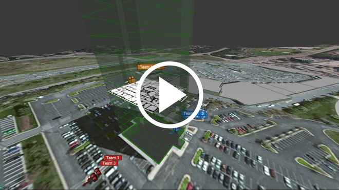
D60 is a three-day symposium being hosted by DARPA at the Gaylord National Harbor from September 5th to 8th in honor of its 60th Anniversary. The symposium is both sharing DARPAs record of achievement over the past 60 years and highlighting its breakthrough technologies and capabilities being developed today. TRX Systems’ NEON GPS-denied Location Service was highlighted as one of the innovative technologies and capabilities in which DARPA has invested in to keep warfighters and first responders safe in GPS-denied areas. “One of the most important ways to do that is to just know where they are, whenever they are on the battlefield, or fighting a fire, or just responding to a threatening situation. This is not as easy as it seems because there are many areas that do not have GPS, for example, within buildings or within tunnels,” said Dr. Vincent Tang, Program Manager in the DARPA Defense Sciences Office. “TRX Systems has been working on…ways for us to track our warfighters and first responders as they are executing their missions….We are excited about the technology here because it is allowing us to track and navigate to the meter scale resolution in these really difficult environments,” added Dr. Tang in the video. The TRX NEON Location Service fuses together data from GPS, inertial sensors, radio frequency signals, and map data to deliver ubiquitous and reliable 3D-location even indoors and underground.
DARPA is working now to develop transformative technologies to mitigate national security threats including those posed by weapons of mass destruction (WMD). One of the programs leveraging TRX’s GPS-denied location capabilities is the DARPA SIGMA program which aims to revolutionize detection and deterrent capabilities for countering nuclear terrorism. This program is aimed at preventing attacks involving radiological “dirty bombs” and other nuclear threats through deployment of a network of smartphone-sized mobile devices that can detect the tiniest traces of radioactive materials. A key feature of the SIGMA architecture is that it allows for automated, real-time detection, identification and tracking of nuclear threats with continuous situational awareness via web-based command and control interfaces – where GPS is available and where it is denied. Comments are closed.
|
AuthorWrite something about yourself. No need to be fancy, just an overview. Archives
June 2024
Categories |
Company |
|


 RSS Feed


